By Charley S. Binkow
For centuries Egypt has inspired awe in the West. From Napoleon to Anderson Cooper, westerners have found an intrinsic fascination with Egypt’s rich culture, history, art, and politics. Since they first arrived, Egypt’s visitors have tried to capture its incredible landscape and document its complex beauty. The Travelers in the Middle East Archive gives us a comprehensive collection of what these visitors saw and what they chose to record one hundred years ago.
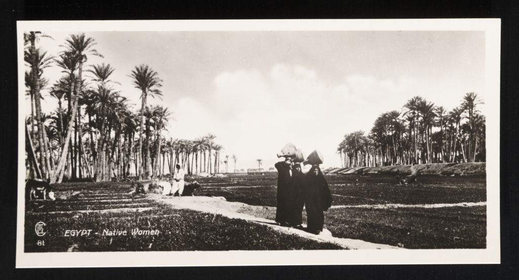
Postcard entitled, “Egypt – Native Women” (Lehnert & Landrock Egypt – Native Women (81) (n.d.).
From Travelers in the Middle East Archive (TIMEA). http://hdl.handle.net/1911/5521)
Between the late 19th and early 20th century, explorers took photos, stenciled pictures, and documented all they could see in the Nile Valley. And while these travelers captured grandiose or exceptional images for their catalogues, they were also fascinated with the real, day-to-day life of Egyptians. In this collection, we can see what these explorers saw as noteworthy, what they wanted the world to see, and how they portrayed Egyptian life. This archive is just as much, if not more, about those who documented Egypt as it is about the Egyptians themselves.
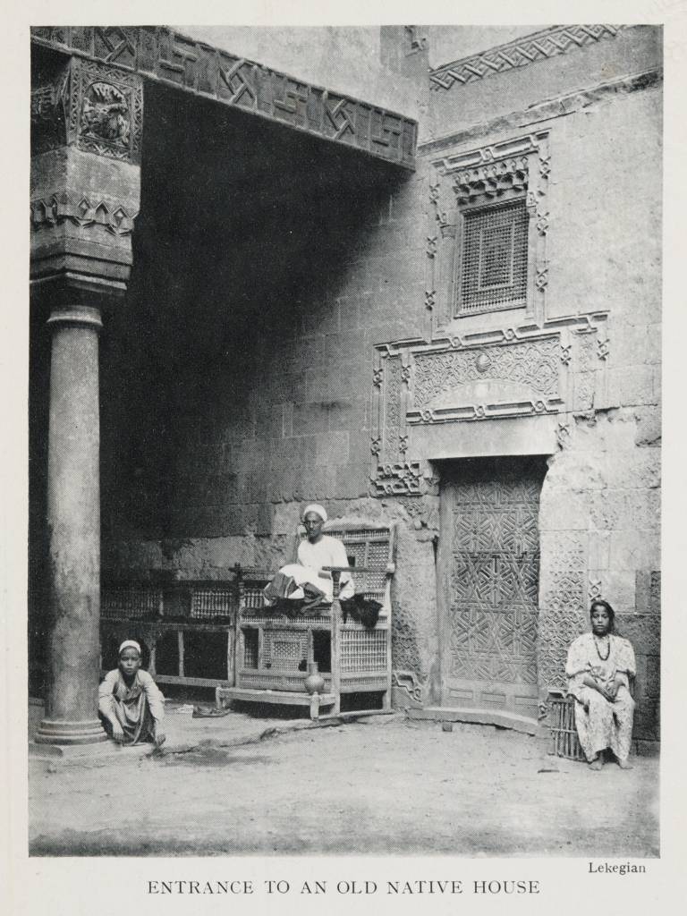
Postcard entitled, “Entrance to an Old Native House,” 1906 (Travelers in the Middle East Archive (TIMEA). http://hdl.handle.net/1911/20913)
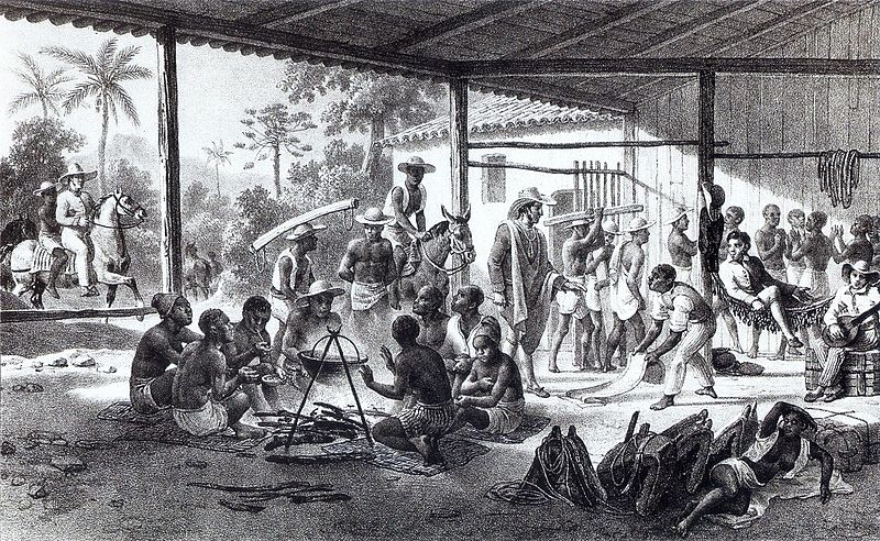
The archive has assembled these primary sources and divided its massive collection into thematic subjects. One can peruse Art & Artifacts, History & Politics, and a lot more with exceptional ease. There are beautiful pictures, high quality photographs, and vivid paintings that bring the land to life. I especially like the photographs of the Egyptians doing daily routines, such as women carrying pots or boys and girls on the street. And while there are some stunning portraits of foreign dignitaries, like the British general Sir Reginald Wingate, the best images are of the people whose individual lives often don’t make it into the history books. This collection shows the workers, the poor, and people in mourning. Historians can access photos portraying how ordinary people lived—what they wore, how they walked, who they associated with. But they can also better understand the Westerners who visited. Was the land more than a spectacle to them? What do the drawings say about their creators?
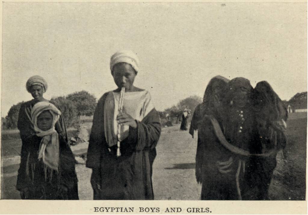
Photograph of Egyptian boys and girls walking down a road, 1911 (Travelers in the Middle East Archive (TIMEA). http://hdl.handle.net/1911/21592)
In addition to the pictures, the archive has digitized certain key writings. My favorite is E.W. Lane’s An Account of the Manners and Customs of the Modern Egyptians from 1836. Just skimming through the pages brings a whole new world to life. You can read about the Egyptian process of child naming, their various beliefs, and their relationships between religion and law. The preface is a worthy read by itself—especially Lane’s account of the serpent eaters!
This archive is incredibly rich and rewarding, filled with a gold mine of primary documents. Click around and discover Egypt for yourself. The more you traverse the website, the more you’ll want to.
![]()
The latest from The New Archive:
A database that preserves the sounds of 1920s New York City
And the American Civil War, as drawn by Harper’s Weekly


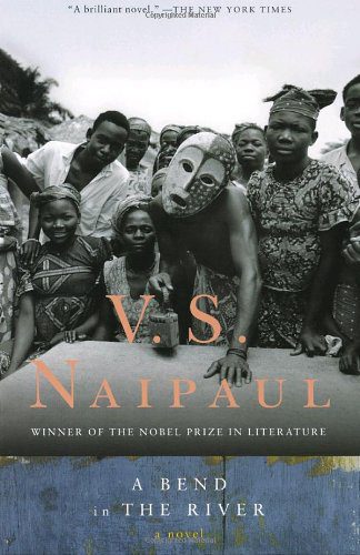 Much like its eponymous waterway, V.S. Naipaul’s A Bend in the River meanders steadily through the dark reality of postcolonial Africa, alternately depicting minimalist beauty and frightening tension. Like Joseph Conrad’s Heart of Darkness, subtle prose reveals the timelessness of the continent’s remote corners alongside human corruptibility. Yet, Naipaul moves his narrative closer in time to contemporary Africa, demonstrating that the horrifying legacies of colonialism did not end with Europe’s retreat. In A Bend in the River, the struggle to establish national identities in the wake of Western imperialism takes center stage, with “black men assuming the lies of white men” in order to govern.
 By
By 


 first successful Marxist revolution just ninety miles away from U.S. shores. Driven by a sense of Third World, post-colonial comradery, Cuban guerrillas staged socialist interventions in Africa in the name of Marxism and anti-imperialism. This book’s depiction of their successes and failures, coupled with Soviet and American reactions to such brazen undertakings, makes for a refreshing literary adventure in Cold War international history.